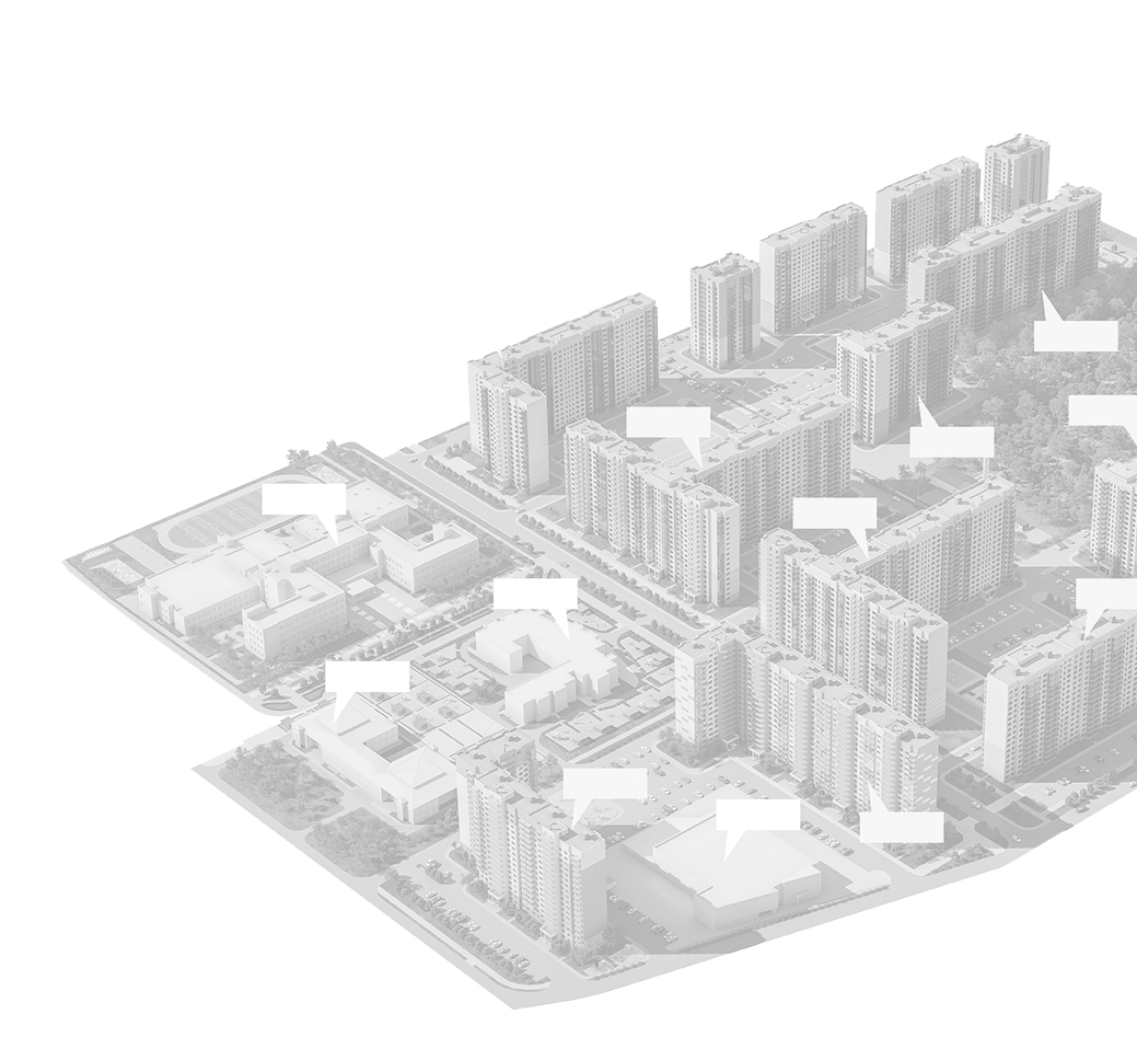
Estate service centre
Preparation and approval of a full package of documentation for the construction of real estate. Between the appearance of a desire (A) to implement something in the construction industry and completing commissioning (Z), you need to go a long way in resolving the Architectural, Engineering, Legal and other problems before you get project documentation. You must go through various types of approvals, expertise and technical diagnostics, etc., to obtain a building permit and ultimately obtain ownership of the constructed object. Our organization will help you to save your time, nerves and money, from the creation of the concept to the completed construction.

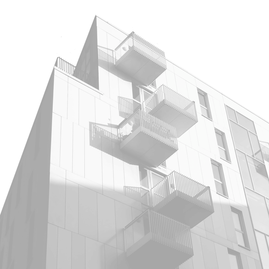
Residential Design
Development of sketch and working projects with obtaining permission for construction, reconstruction, re-planning and major repairs: garden houses, cottages and apartment houses. In addition to basic architectural and construction drawings, sections of engineering networks can be additionally developed by a certified engineer.
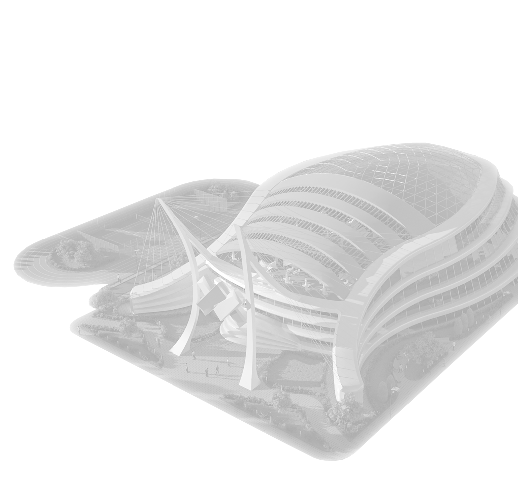
Commercial Design
Development of sketch and work projects with passing of expertise for new construction, reconstruction and capital repairs of commercial real estate objects such as office buildings, shops, shopping centers, warehouse buildings, hotels, restaurants, bars, cafeterias, medical institutions, agricultural buildings and others.

Sports facilities
development
The main feature of such structures is a large area of buildings. Our specialists will gladly cope with this difficult task and will gladly develop the necessary projects for you. There are several types of sports facilities: playgrounds, stadiums, gyms, fitness clubs, universal sports complexes, swimming pools, tennis courts, ice arenas and others.
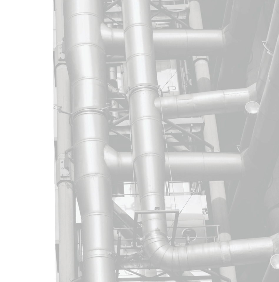
Engineering Network Design
Development of design documentation for new construction, reconstruction or major repairs:
Water,
sewerage
sewerage
- Water supply
- Sewerage
- Water treatment plants
- Pumping stations
- Water wells
- Storm water drainage
- Drainage systems
- Autonomous sewers
- Clean water tanks
- Watershed systems
- Filtration systems
Heating,
ventilation
ventilation
- Boiler equipment
- Heating systems
- Air ventilation systems
- Air recovery systems
- Energy audit
- Energy efficiency certificates
- Heat conductivity calculation
- Thermal routes (ground/underground)
- Thermal technical calculations
Electricity
- Transformer substations
- Electricity сonnection
- Electrical networks (External / Internal)
- Grounding
- Street lighting
- Lightning protection
- Low current networks
- Fire alarm
- Video surveillance
- Generator substations
- Solar power plants
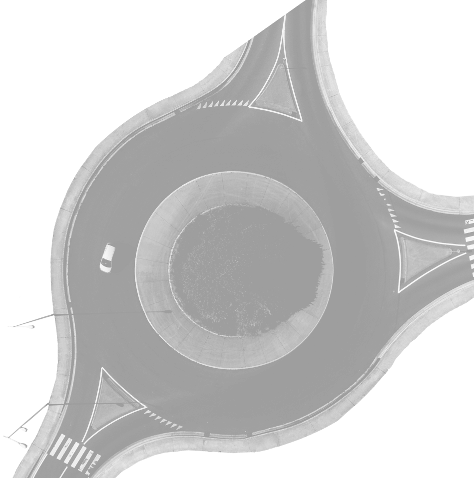
Road Design
and Traffic Management
Development of design documentation with engineering surveys for design of capital repair, reconstruction, new road construction and traffic management. The working project can be considered - roadway, sidewalks, road signs, markings, drainage, side stone, storm systems, curb support and other complexes of engineering structures designed to ensure safe and efficient operation of transport.
Aerial Photography
Photographing the territory from a certain height from the Earth's surface using an aerial camera mounted on an unmanned aerial vehicle in order to obtain, study and present objective spatial data at the surveyed areas. The data obtained during aerial photographing are especially applicable in cartography, territory boundaries determination, cadastre management, species exploration, archeology.

Hydrographic
survey
Gathering information about water bodies for various purposes. The purpose of the study can be any physical fields of these objects. The most popular type of work carried out during hydrographic survey is bathymetric survey, the result of which is a map of depths in the study area in electronic or paper form. For hydrographic survey the measuring echo sounder is used, which is notable for its professional accuracy.

Technical inspection
of buildings and structures
Technical inspection of buildings and structures is carried out by an appropriate certified specialist, whose task is to establish the possibility of its further operation, to determine the technical condition of the object with a detailed description of the state of all supporting structures and provide recommendations for strengthening the emergency sections of structures. Also technical inspection can be carried out for the purpose of converting garden houses into residential ones.
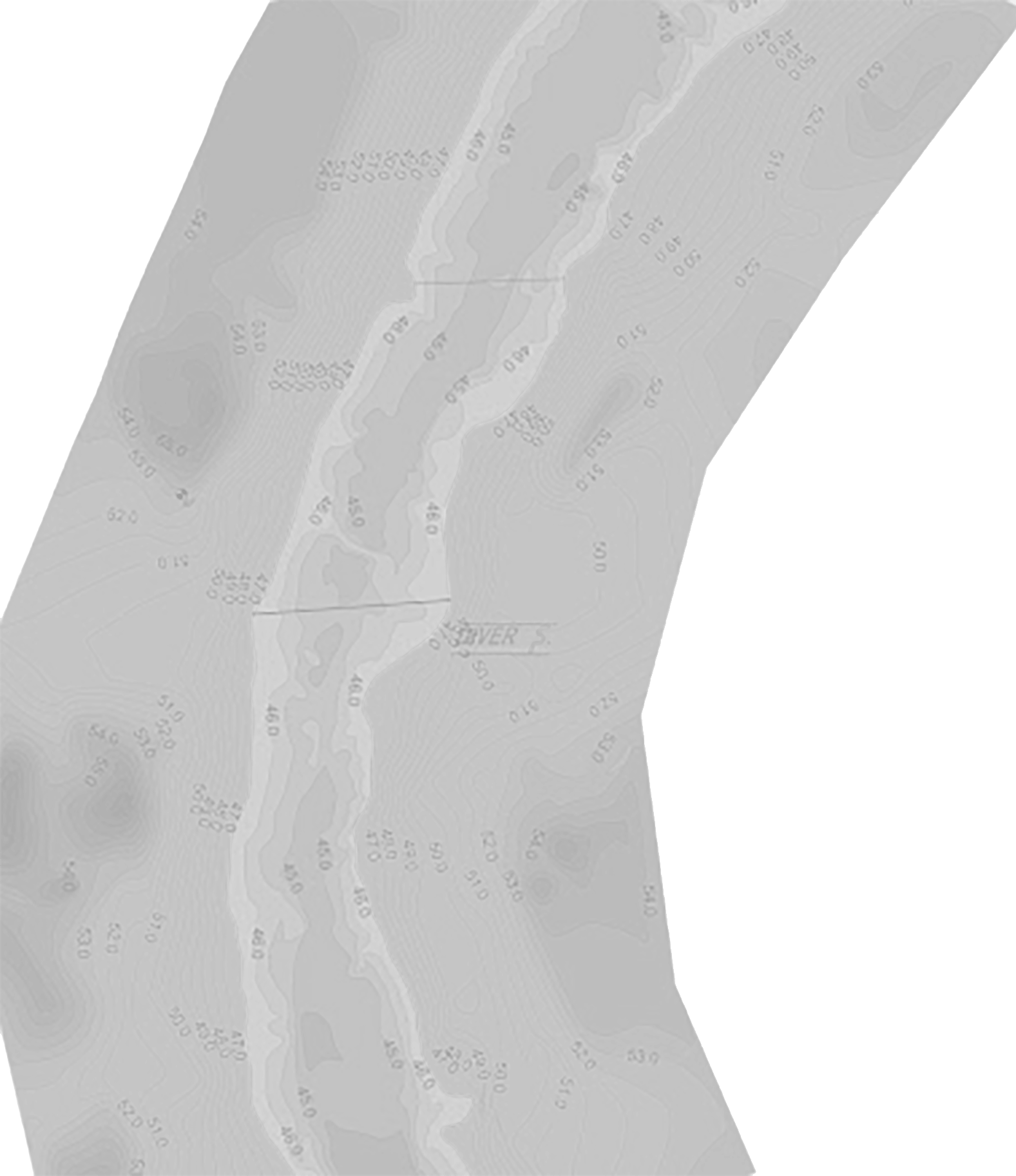
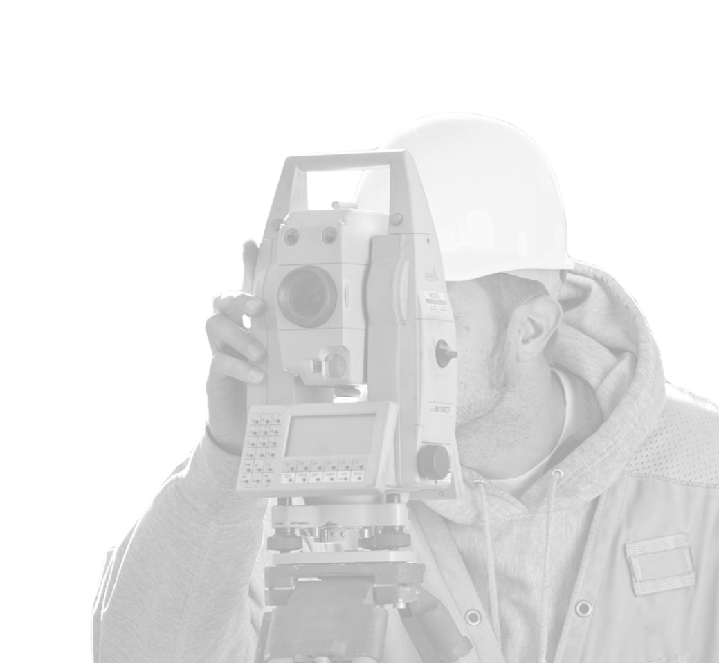
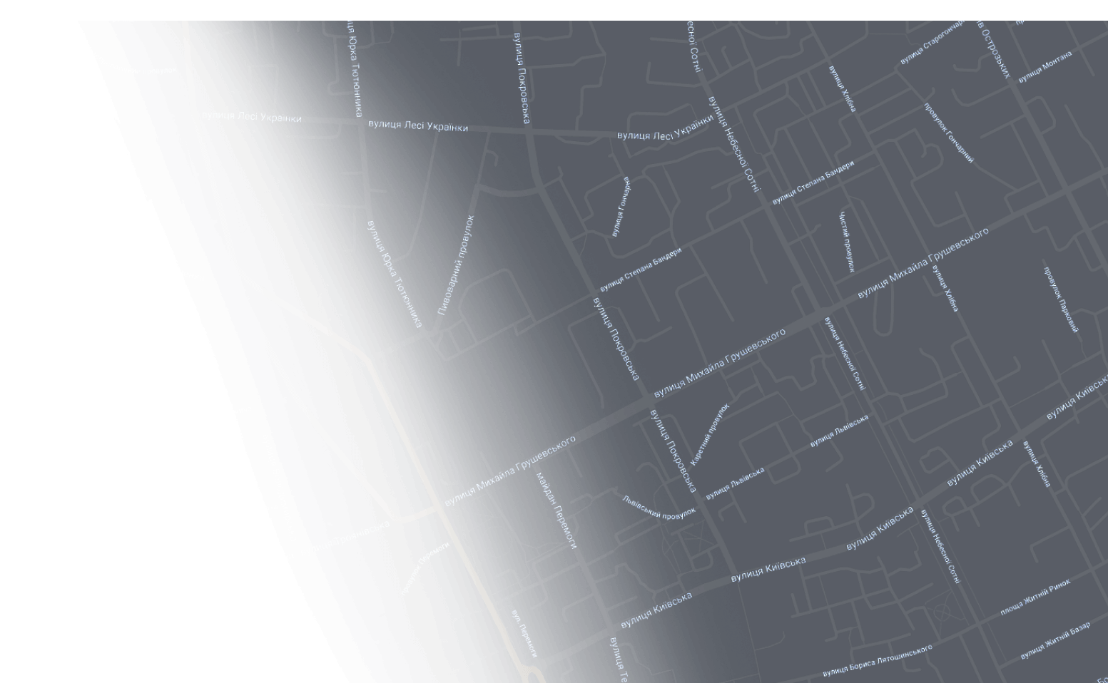
Topographic survey
Topographic survey is the creation of cartographic materials on a scale from 1:500 to 1:5000 by surveying the area with high-precision geodetic equipment to determine the exact coordinates of latitude, longitude and altitude, fixed marks set by a digital tacheometer or dual-frequency GPS, determining the exact location of underground and aboveground communications. The topography is required for the development of project documentation, detailed area plans, connection of engineering networks, reconstruction, new construction, area inventory and other needs.
Geological exploration
Geological exploration is carried out in order to obtain information on physical and mechanical properties of different soil layers for competent calculation of loads of future mounted load-bearing structures, as well as to determine the groundwater level and their aggressiveness to concrete products. In the absence of information about the soil, foundations and other supporting structural elements are designed with an obviously large stock of bearing strength, which leads to high additional costs of construction costs.
Detailed territory plan
The detailed plan of the territory is the town-planning documentation which is developed for change of target purpose of the ground area, definition of target purpose of the ground area, land allotment, in absence of other town-planning documentation for reception from architecture of town-planning conditions and restrictions and for other needs of definition of use of territory.
Legal support
Legal support of construction objects can be divided into three stages. The first stage is the collection of initial data, technical conditions, the formation of a complete package of design documentation, obtaining construction passport or urban conditions and restrictions from the local architecture and other documentation with a chain of obtaining a building permit from the local architectural inspection. The second stage is to support the construction process itself and the third stage is the commissioning of the completed construction project and registration of ownership.

© Archservice, 2025. All rights reserved.